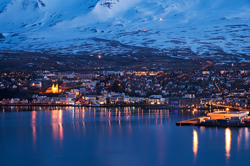
Iceland has many faces, and all of them have to be discovered, including the northernmost part of the island, perhaps the least advertised, but fascinating, because it is difficult to compare it with other parts of the world. This is a unique place. Discover everything you can do in Akureyri, Iceland! Follow our route through all the most beautiful places in the city and its surroundings.
Admire the whales in Husavik
In total, twenty-three species of whales have been spotted in Icelandic waters to date. Water visitors to the Bay of Skjalfandi have peculiar names, such as white-winged dolphin, porpoise, and blue whale. Because of their playful nature and the incredible acrobatic performances they are capable of, humpback whales are among the funniest animals to watch at sea. The lucky ones here can see them up close as they eat, jump out of the water, flap their fins against the water, or just pop out of the sea to check what’s going on outside.
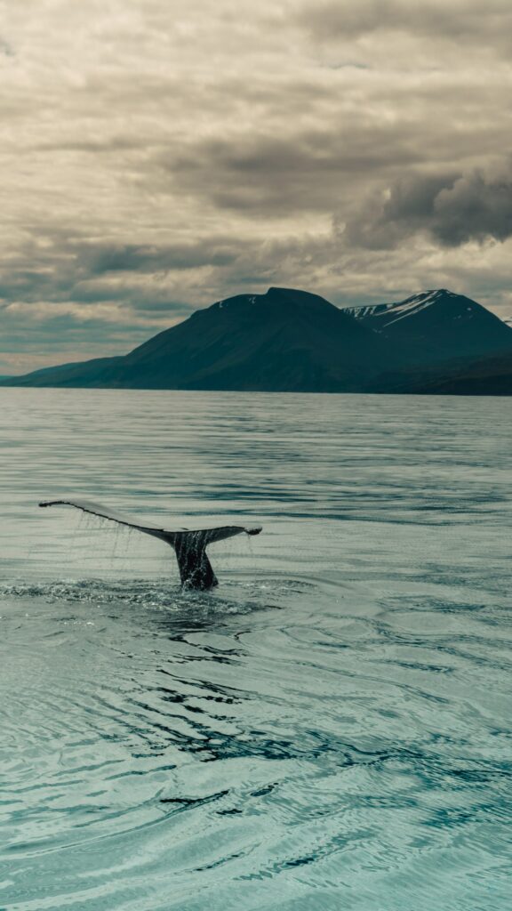
Another guest of the bay is the blue whale, the largest animal that has ever existed on Earth. His tongue alone can weigh like a whole elephant and his heart like a car. To see these free-living creatures in the water, in their natural habitat, is truly breathtaking. Husavik is the undisputed capital of this kind of excursion: it is little more than a village, and mainly lives off fishing and tourism.
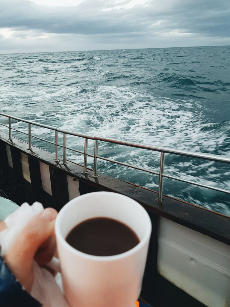
Some companies here allow you to go to sea on a restored (but motorized, of course) sailboat. It’s really easy to spot whales under favorable conditions, but it doesn’t always work out. Dolphins take care of providing the show.
Godafoss Waterfall
One of the places that should be included in the program of visiting Iceland is, of course, Godafoss, a source of pride for a country known for its natural beauty and evocative landscapes. Iceland is known as the “Land of Fire and Ice”, but it deserves a special name because of the many waterfalls: there are more than 10 thousand of them! The fact is that many Icelandic glaciers melt in the summer and as the water flows from waterfalls, filling waterways such as the Skjalfandaflot River, from which the Godafoss originates.
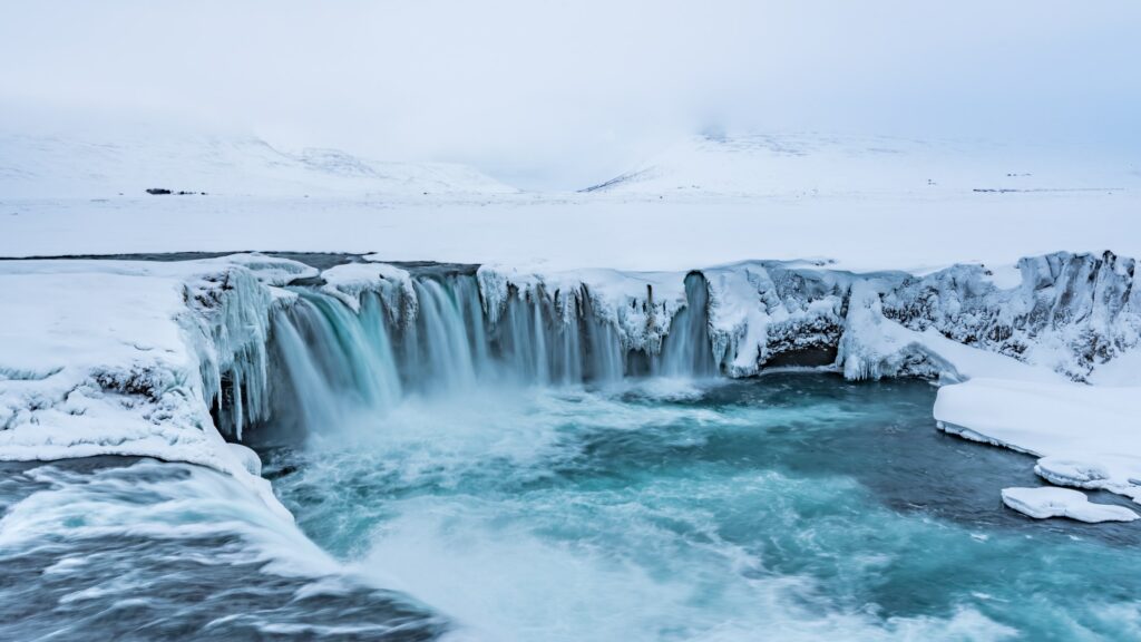
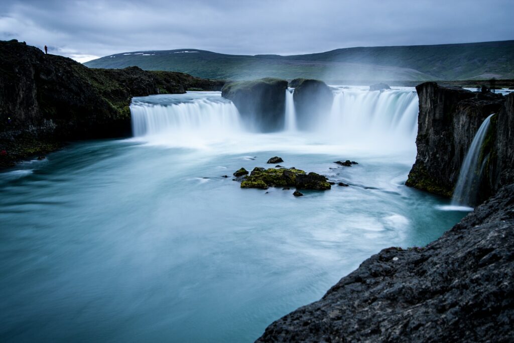
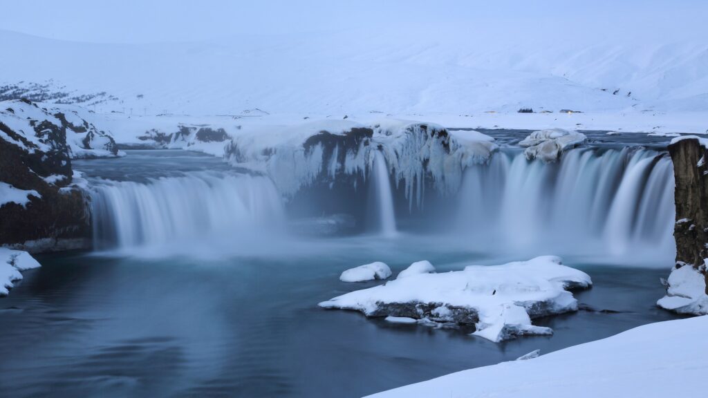
It all starts with the Vatnajokull glacier, the fourth largest in Iceland. This miracle is part of the northern region, it is one of the most picturesque waterfalls. It is best to admire it when the northern lights illuminate the night. We are faced with a truly magical scene. Godafoss also means “waterfall of the gods”. Legend has it that Iceland was pagan until the thousandth year and that all the statues of the Scandinavian gods were thrown into the waters of the waterfall, formally adopting Christianity at that time.
Laufas
Traveling around the island, beautiful Icelandic grass houses do not go unnoticed. The promising Laufas House belongs to the National Museum of Iceland and is managed by the Akureyri Museum. Its peculiarity lies in the fact that it is larger than the usual houses under construction since it was a manor and a vicariate. Once there lived up to 20-30 people, including servants. The interior decor dates back to the early 1900s and shows how Icelanders lived at that time. It’s amazing how many rooms there were. You cross several corridors between one space and another.
Laufas was a rich farm by Icelandic standards. The last minister lived here until 1936 when he moved to the new vicariate. This place is mentioned in the records of Icelandic settlements as early as 874-930. The house was rebuilt in 1866-1870 when Reverend Bjorn Halldorsson lived in Laufas, but the oldest part of the house dates back to 1840.
Since early Christianity in Iceland, there has been a church in Laufas, the Laufaskirkja Church. The current building was built in 1865 and is dedicated to the Apostle Paul. Inside you can admire the decorative pulpit from 1698. And the baptismal font is beautiful, all illuminated by sunlight at certain times of the day. Laufas is open every day during the summer months, it is located near the village of Grenivik, 30 km from Akureyri. Don’t miss it.
Botanical Gardens
Listigardurinn is the pride of Akureyri. It was a public park opened in 1912, followed by a botanical garden in 1957. Located just 50 kilometers from the Arctic Circle, creating and maintaining beautiful gardens was no small feat. It all started in 1910 when several women from Akureyri founded the Association of Parks intending to beautify their city. A year earlier, the city council allocated them a hectare of land on which they could give free rein to games and fun, not suspecting that these women were engaged in business. Over the next forty- three years, the Gardens were managed by the Park Society and increased to 3.6 hectares.
Apart from the fact that these are quiet and very beautiful gardens, the botanical gardens have gradually become a place for scientific research. It was believed that many of the plants placed there would not be able to survive on the edge of the Arctic. But they survived, and not only: they flourished. The gardens also have fountains and ponds where children like to play. There are several wooden buildings in the south-eastern corner. One of them is a bar/bistro with a large patio. This is the most delightful place to sit and relax on a sunny day.
Akureyri Cathedral
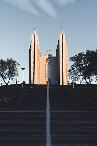
The emblem of the city, Akureyri Cathedral (1940) with a pair of tall concrete spires stands on a small hill overlooking the city center. It reflects the image of Lutheran rigor: its lines are perfectly combined with a laconic and bright interior. In the choir, take a look at the magnificent stained glass of the 15th century. Also pay attention to the model of a boat suspended in the nave, donated by local sailors, as well as to the modern bas-relief decorating the mezzanine, in which there is a giant organ.
Lake Mivatn
Northern Iceland is home to the beautiful Lake Mivatn. With an area of 36.5 square kilometers, Mivatn is the fourth largest body of water in Iceland, although its size is only one of the qualities that attract visitors all year round. It also has amazing geological features, rich flora, and fauna, and is surrounded by many amazing places. After all, the lake is one of the attractions of the Diamond Circle, a popular tourist route in the north of Iceland.
In the area of Lake Myvatn, there is only a very small town called Reikyahlid. Here you will find basic services such as a gas station, a bank, a mini supermarket, a medical center, a school, a swimming pool, and a hotel. Numerous cafes, restaurants, and guest houses are also scattered along the shores of the lake and near some of the main attractions, as well as there are campsites in the area. From Reykjavik, it takes about 6-7 hours to get to the village of Reykjavik, which is in good condition.
In winter, it may take longer, depending on the weather, but the ring road connecting the two villages should still be open. Lake Mivatn, as already mentioned, is part of a tourist route called the Diamond Circle, which also passes through the city of Husavik, the Asbirgi Canyon, and the Dettifoss Waterfall. Other attractions visited during some tours include the Godafoss Waterfall and the Hledaklettar Cliffs.
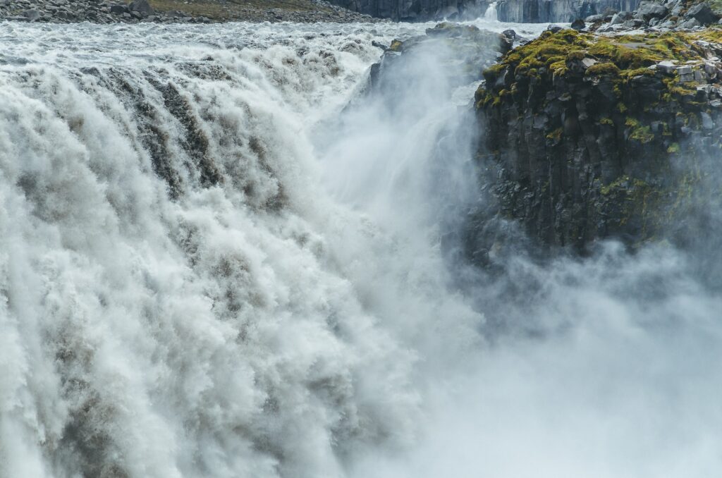
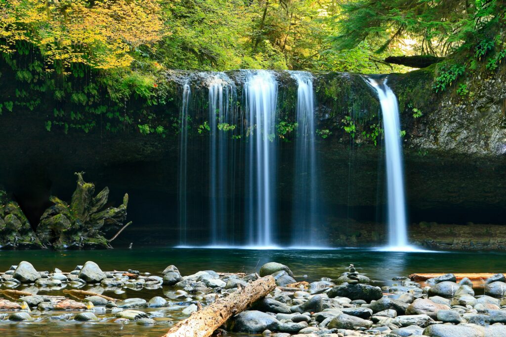
The city of Husavik is known as the European capital of whale watching, and many operators can boast of 100 percent success in their observations in the summer. It is also a very picturesque and colorful city in itself, with a magnificent view of the Bay of Skjalfandi. Abyrgi, in turn, is a lush green forest in a deep horseshoe-shaped canyon, which is said to have been formed by Odin’s horse, Sleipnir, when one of his feet touched the ground. Nearby are the stunning rock formations of Khledaklettar, where basalt columns stand out in all directions.
Hverfell Volcano
Part of the attraction of Iceland lies in the abundance of spectacular and unique landscapes. One of these places is the volcanic crater Hverfjall. Also known as “Hverfell”, it is a tephra cone or ring volcano made of tuff in northern Iceland, east of the volcanic lake Mivatn. The crater of the volcanic explosion has a width of one kilometer and a depth of about 140 meters. It is dark, round, almost symmetrical, and attention-grabbing.
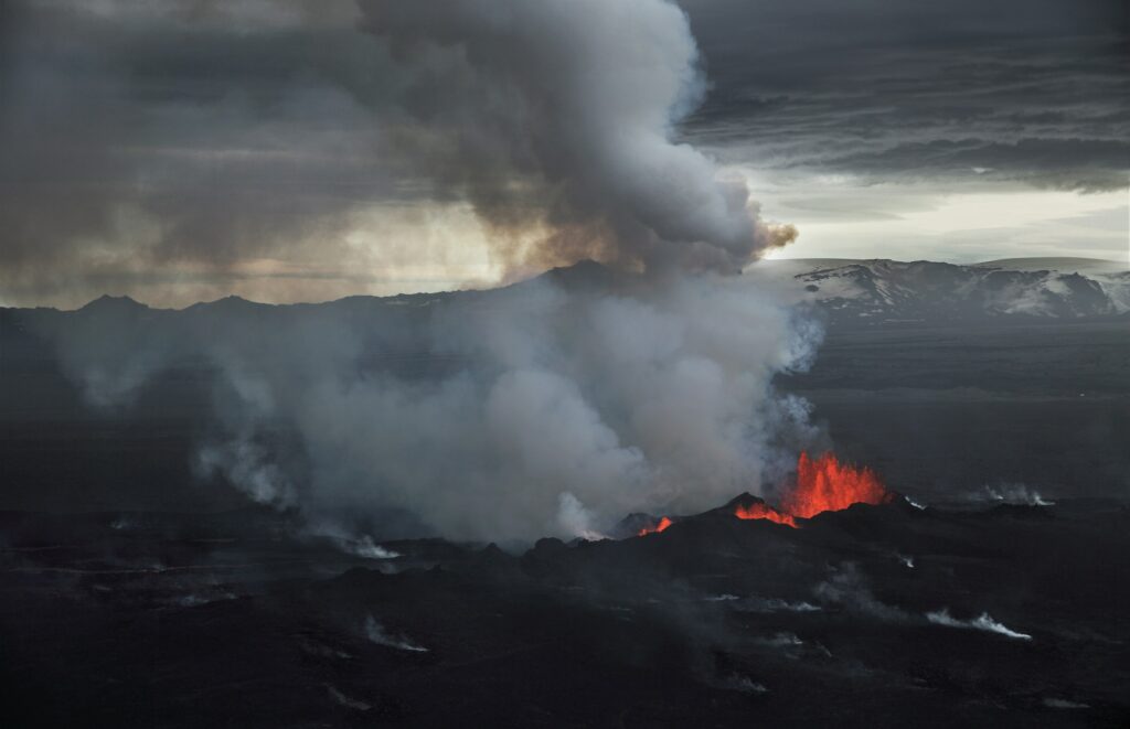
The walls and the deep center of the Hverfjall give a beautiful shape, similar to a stadium or amphitheater. Hverfjall is a popular hiking destination and there are trails available to the public. It is believed that it was formed during a volcanic explosion. The Hverfjall is not 100% symmetrical, it is the result of a landslide that occurred a few years ago. Its crest reaches 200 meters in height.
Namafyall Mountain
The desert in the northeast of Iceland defies all standards: a steaming, seething desert. Namafyall is a geothermal zone located east of Lake Myvatn, which looks like a mixture of alien landscape and Dante’s hell. Located at the foot of a massive volcanic mountain, this site consists of a large number of boilers with boiling mud and steam sources called fumaroles, which are holes in the ground from which sulfur dioxide gases are emitted. On the way to the place, its surroundings could be mistaken for the Arizona desert, but as visitors approach Namafyall, any sense of proximity disappears.
In this area, the desert opens wide and burns like a boiling cauldron, but it is not the water that is thrown into the atmosphere by fumaroles and mud boilers. For visitors to enjoy the unique landscape of Namafyall, they must be prepared to tolerate the stench of poisonous fumes emanating from cracks in the ground, which smell of rotten eggs. These fumes have driven vegetation out of the area (as well as tourists with sensitive noses), leaving the place as barren as vegetation on Mars.
But if visitors can tolerate the smell, they can roam the landscape like no other. In addition to fumaroles and mud pots, the land around is decorated with bright arrays of colorful mineral deposits. Thus, even though there are no plants on the site, it seems that it is rife with the vibration that affects even the most monstrous lichens and mosses. The geothermal zone, also called Hverir, is located outside of Route 1 or the Ring Road. There is a large parking lot and various hiking trails through the landscape. You can also take a hike on the nearby Namafyall Mountain.
Hlidarfjall
For almost 40 years, Hlidarfjall Mountain has been one of Iceland’s main ski resorts. The hallmarks of Hlidarfjall are high-quality snow, wide cross-country ski trails, and spectacular ski trails with stunning views of Eyjafjordur. Akureyri’s Ski Resort has located just 5 km from the city, it is a truly unique area. The altitude of the site ranges from 500 to 1000 meters above sea level, so there are many opportunities for good skiing in the winter months.
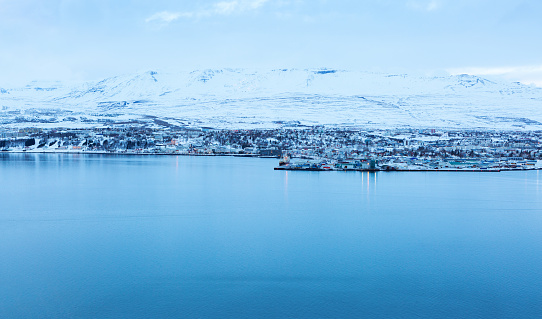
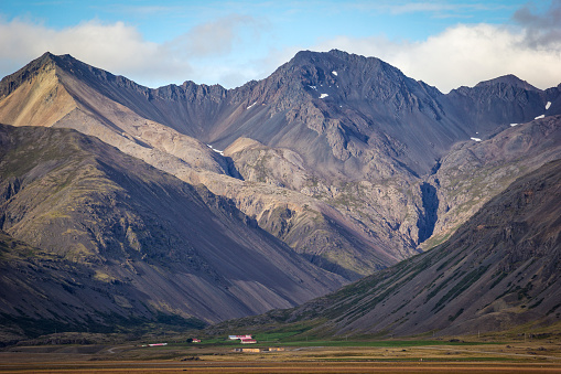
Since 2006, a lot of snowplows have been installed in Hlidarfjall, which expand and improve the condition of snow on the slopes. All the main trails are illuminated, which allows you to ride in the evening. The district has been operating since February 2018. The high season lasts from November to May. It is open in the winter season.


I honestly think the second I’ll land in Akureyri I will cry. Mind you, tears of joy, but I know I’ll cry. My budget and work schedule limits my traveling dreams so I didn’t manage to leave the US just yet. I’m only 25 so I am not necessarily desperate but Iceland has been a dream of mine ever since I was little. The Northern Lights are such a wonderful phenomenon, it sounds surreal just when I think about it. Plus, there’s whale watching, another huge bonus point for a huge whale lover like myself.
I booked a horse riding tour, this was the most surreal riding session I’ve ever done! The untouched natural landscape is a far cry from the crowded riding session I take back home.